Tuesday, May 17, 2016

Seen on the Highway


Always one of my favorite rest areas just north of Socorro New Mexico. A walk up the board walk to the restrooms and a walk down. There used to be a sand dune all around the 2 rest areas on both sides of the highway but now the sand dunes have moved over the ridges to where they can't be seen from here. The next photo shows the highway going on in to Socorro.


 Near a small farming community near Socorro I saw this little herd of longhorn cattle. I have always liked these big critters with their long horns The history behind this breed is amazing. None of these three bulls did anything but chew there cuds. The cows and calves decided they didn't want their pics taken and walked into another field. There are several small farms that raise and sell these colorful bovines. They always bring back the memories I heard of how my great-granddad would drive cattle from his ranch near Colorado City, Texas to the railhead (not sure where it was) each year. Thanks to who ever these belong to for the pics.


 Rocky mountains that sits just outside of Socorro, NM

Plains of San Agustin

A large area along the highway from Springerville to Socorro are know as the Plains of San Agustin. This is ranch country - cattle and sheep. I took a better look at this area on my way back from my sister's place in Arizona to my home in Albuquerque.

I had driven through Quemado (que-ma-do) on the way out but decided to stop this time. There were several business but it was the abandoned one that caught my eye plus a couple of horses in a field. 


 These two old abandoned buildings were beside the road a few miles east of Quemado. I wanted to investigate but the was a no trespassing sign and you never know who might be taking a rest inside. Especially the snakes.


There is a Continental Divide on every continent except Antarctica. It is also known as the great divide. This line marks which direction the rivers will run. Rivers run east if they are east of the line that is only known to man on maps. And the rivers run west if on the west side of the line, many of them flowing to the Pacific Ocean. I have crossed the Divide at many places on roads where it is marked at on mountains where it isn't marked with a sign. This one is well known here in New Mexico as is the one near Silver City, New Mexico. There are many places in Colorado where the Divide is marked. There is even a hiking trail along the line that many experienced hiker make a point of following through a certain state or through the whole United States. It is marked in Canada and Mexico as well and all the way through South America. This sign was also marked with a Mile 58 sign indicating you were 58 miles from Arizona.


This is a rough ridge of mountains that I think I remember my husband and I visiting many years ago. I do not remember the name and was unable to find it for sure on a map. This is rough country but does have several dirt roads into them, most requiring 4-wheel-drive. I almost took a short drive over to them but decided it was for another time when I wasn't by myself. And yes my little pickup truck does have 4-wheel-drive and I know how to use it. I have been exploring areas like this all my life, but usually with my husband or when I was little with my dad.


Monday, May 16, 2016

The White Mountains

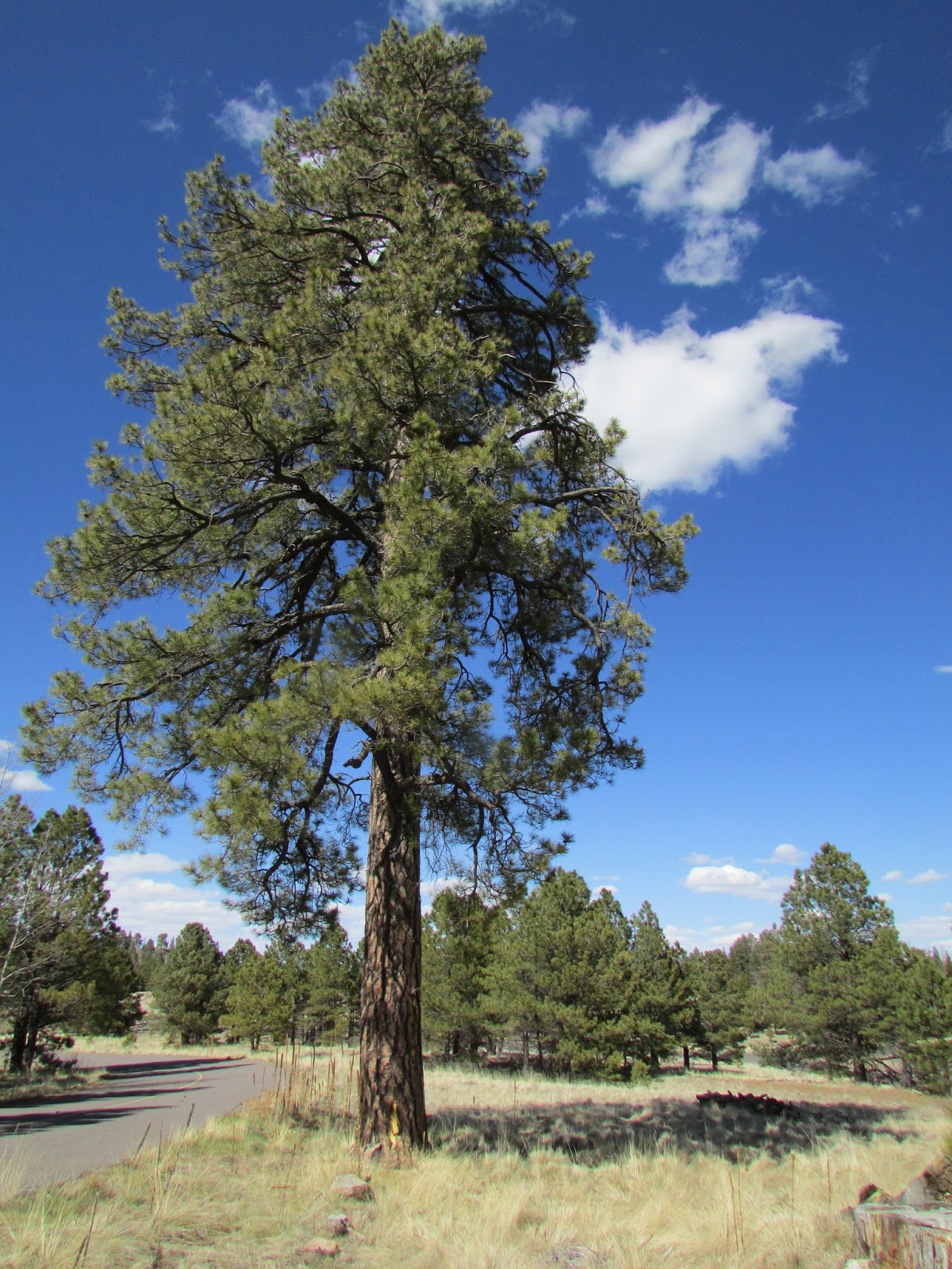
Photos I took on our drive through the White Mountains. these mountains were made by valcanos long, long ago. Most o the area seems to be huge meadows with scattered patches of trees and volcanic rocks. It was very beautiful, peaceful and mostly silent where we were. There is a paved road which makes for nice travel in the summer but part of that road is closed in the winter to let snowmobilers play there. There is also a ski resort, and a lot of cross country skiing is done here.


This is Big Lake. There were several little lakes scattered about the mountains.


this creek is formed by the headwaters of the Little Colorado River.

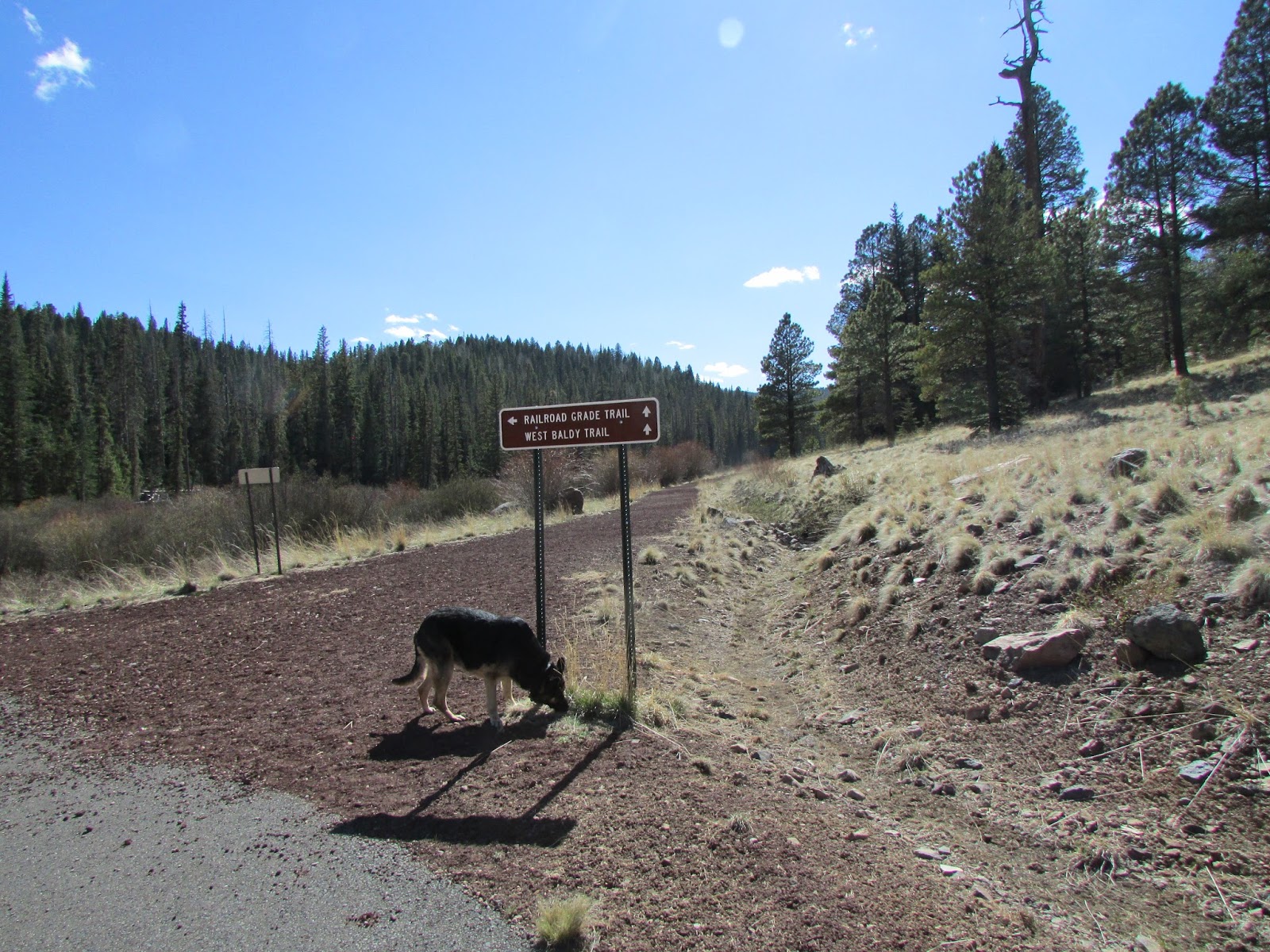
This pathway was originally a bed or a very old steam engine train. Now that so many of these trains are not running, the tracks are being pulled up and hiking pathways are being made out of the rain bed. Someone had a good idea. I understand this is being done at various places all across the US.


Some elk cows we saw grazing in a meadow.


Was it a natural hole in this lava boulder, or was it drilled by man, and if so was it ancient man or more modern man. If it was man it was long enough ago that the lichen has had time to grow around the hole.

We stopped at a very high look out where hundreds of miles of landscape could be seen. But the view of the trees to both sides of us were covered in burnt trees. Much of these mountains were burned a few years ago when a couple of stupid campers let a camp fire get away from them.


My sisters dog, Ruby, went with us to the White Mountains. She seemed to have a good time.


Along the edges of several of the lakes and in some of the snow-melt ponds there was quite a racket as the local frogs were singing to attract mates. You could really hear them but we never did see one. I have seen similar frogs in out mountains and they are quite small little critters although a very important part of the ego-system.